Who We Are
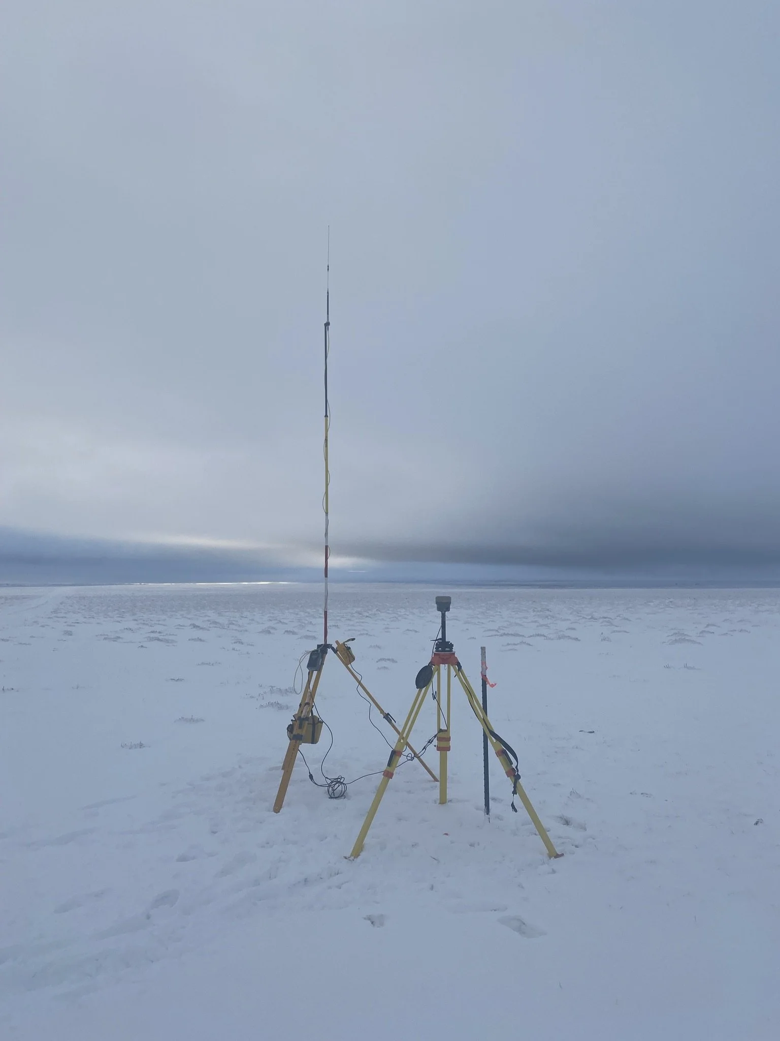
Deep Creek Survey & Mapping specializes in delivering accurate, reliable, and efficient survey solutions across a variety of industries. With expertise in topographic surveys, LiDAR, photogrammetry, 3D scanning, and construction staking, we serve the energy, construction, and infrastructure sectors. Our team has extensive experience in staking for large-scale wind projects, performing detailed topographic surveys, delivering industry leading LiDAR and photogrammetry services.
We utilize state-of-the-art equipment, including Trimble GNSS systems and the Trimble SX12 robotic total station for 3D scanning, ensuring precision in every project. Our industry leading sUAS department offers LiDAR and photogrammetry services, providing detailed topographic and imagery data.
At Deep Creek Survey, we prioritize client satisfaction by delivering accurate results on time and within budget, making us a trusted partner for survey needs throughout our service region.