Survey Services
Deep Creek Survey & Mapping offers comprehensive surveying services tailored to meet your project needs. Our survey expertise includes topographic surveys, construction staking, and utility surveys. Deep Creek’s UAV department offers industry leading LiDAR and photogrammetry services providing our clients with high density, efficient data capture. Additionally, we provide field built GIS’s using ESRI’s FieldMaps to provide image and data capture of utilities and infrastructure complimenting data captured with survey.

3D Laser Scanning
Deep Creek Survey & Mapping offers advanced 3D scanning services using Trimble SX12 robotic total stations to capture highly detailed and accurate spatial data. Our 3D scans provide precise measurements and comprehensive visualizations, ideal for construction, engineering, and site analysis projects.
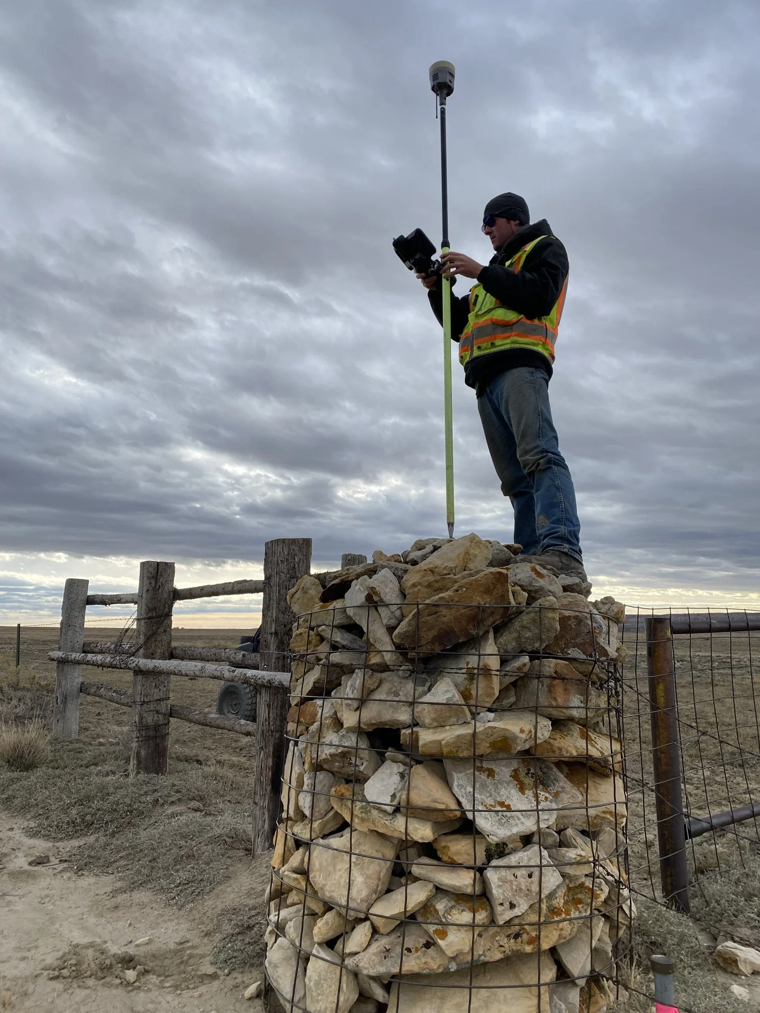
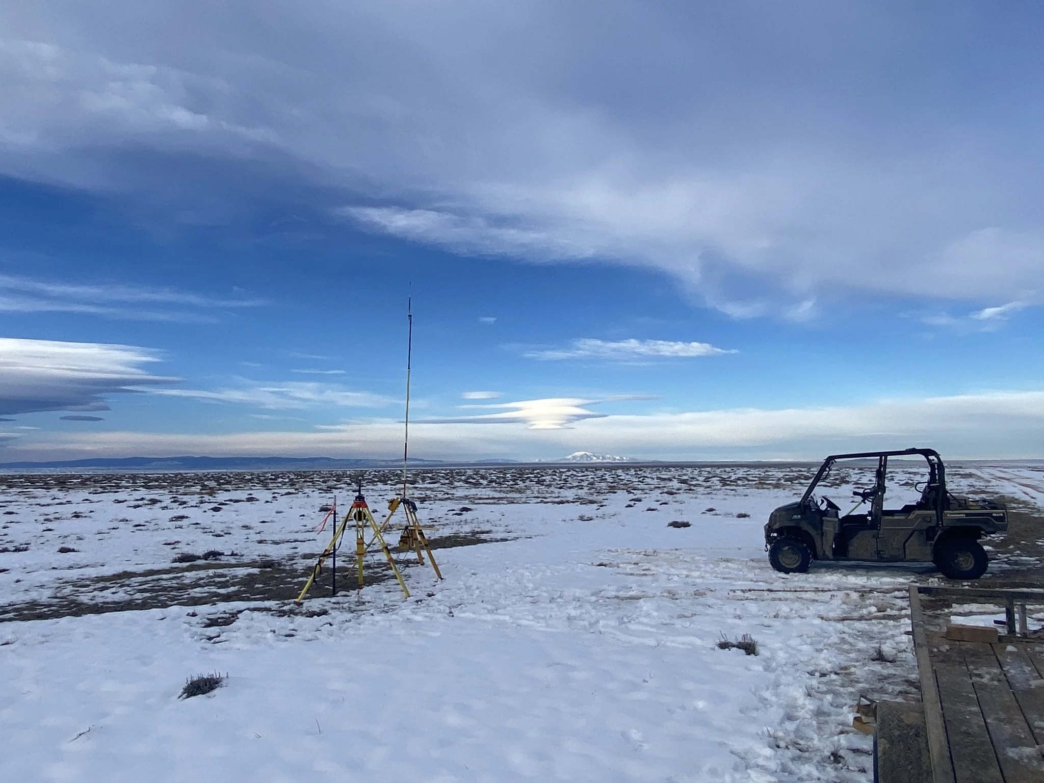
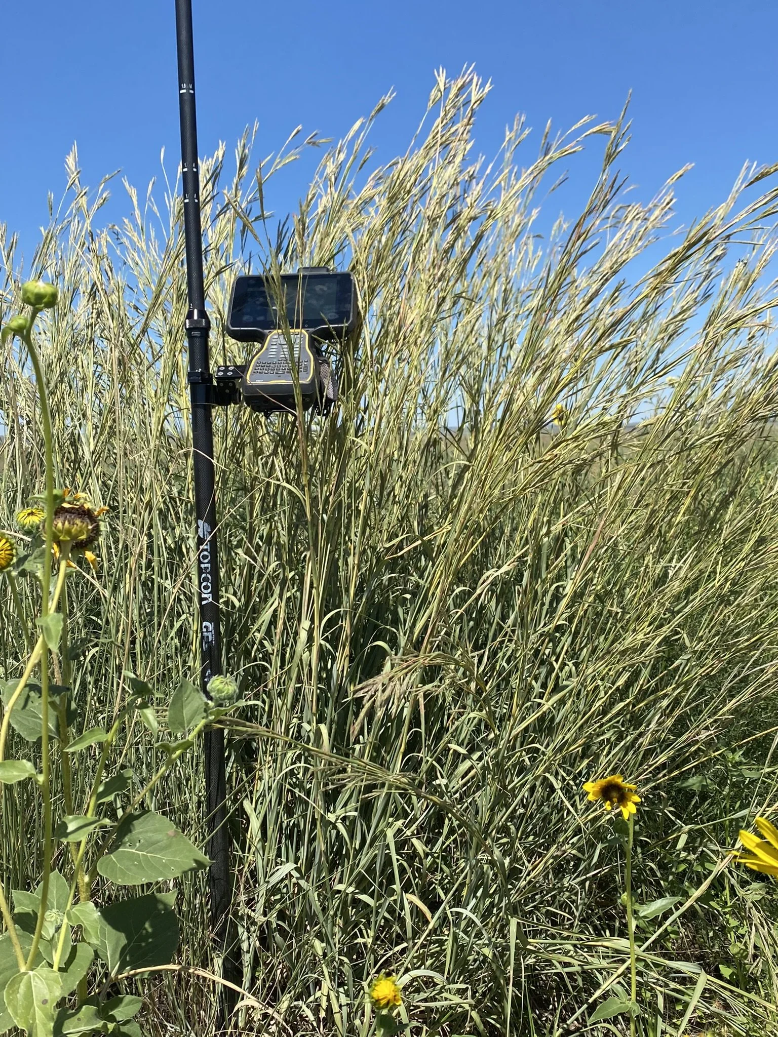
Topo Surveys
Deep Creek Survey & Mapping offers detailed topographic surveys accurately capturing land features, elevations, and contours for construction, engineering, and planning projects. Our use of the latest survey technology ensures the most accurate data to support site development and design decisions.

LiDAR
Deep Creek Survey & Mapping offers advanced sUAV LiDAR and photogrammetry services for high-accuracy mapping and data collection, ideal for terrain modeling and site analysis. We provide detailed topographic data to support a wide range of surveying and geospatial needs.
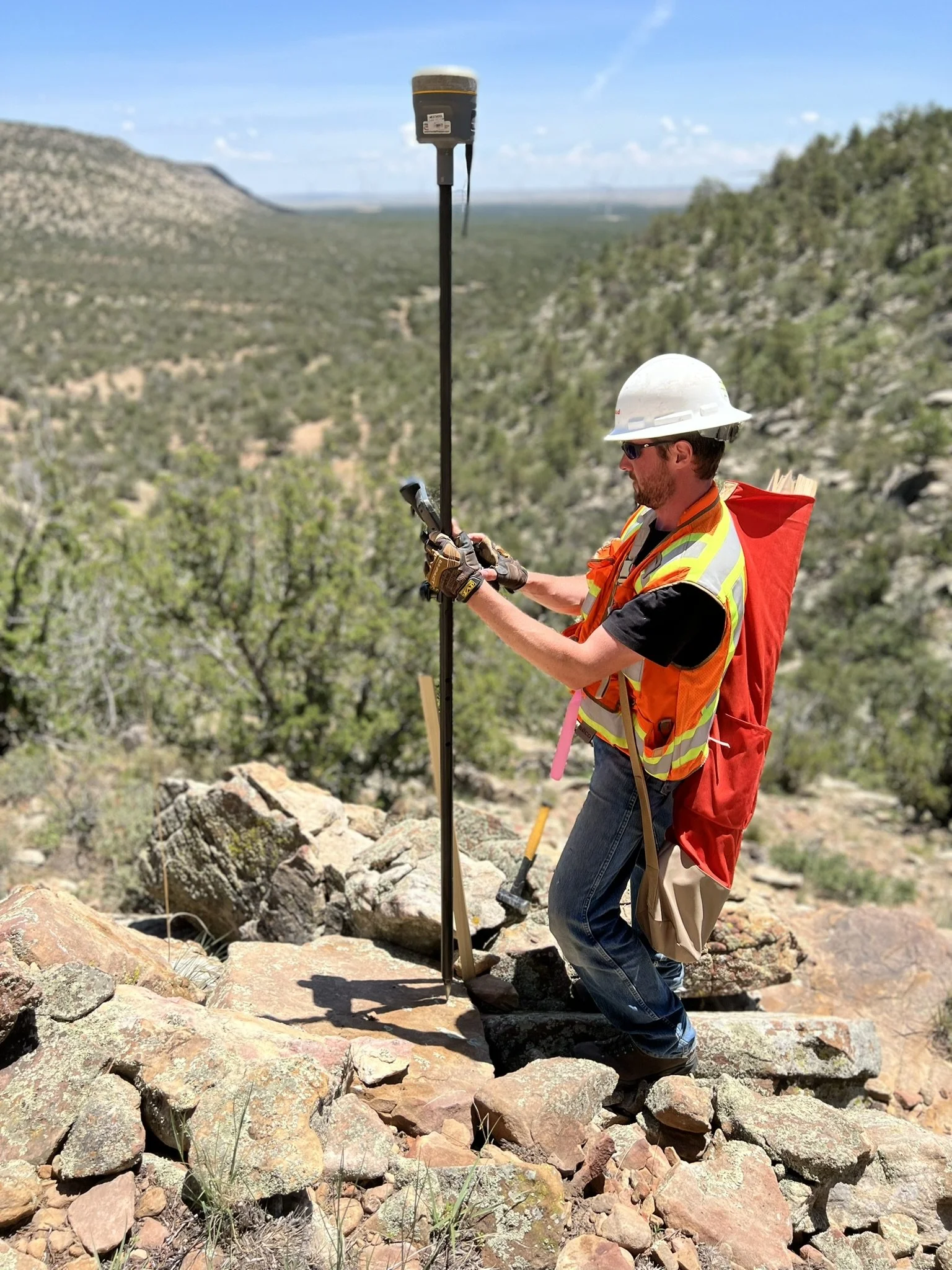
Construction Staking
Deep Creek Survey & Mapping offers construction staking services for all your construction requirements. Our experienced team leverages extensive industry experience to provide reliable, on-site support for contractors to keep projects on time and within specifications.
Floodplain Certificates
Deep Creek Survey & Mapping provides floodplain certificate services for FEMA compliance. Our precise evaluations help clients meet insurance requirements and make informed decisions regarding property development and risk management.